
Lorton Neighbors Around a Parcel
For a Lorton block, each official record answers a narrow question. Jade locates the parcel and surrounding geometry. iCare provides the assessment profile for a selected property. Land records provide transfer parties and legal descriptions. Community groups can identify an association or public meeting contact. None of those sources creates a complete household list, and each should be read for the fact it actually records.
| Source | What It Shows About a Block | Access |
|---|---|---|
| Jade parcels | Target and adjacent parcel geometry, layers, imagery, nearby features, and export tools | Free public map; select tools; not a survey |
| iCare | Owner and assessment profile, mailing/situs distinction, sales and tax context for each parcel | Free search; web owner withholding is possible |
| Deeds, CPAN, and HRC | Transfer history, deed parties, and legal descriptions | Public terminal, CPAN, HRC, or copy request |
| MAR and PLUS | Official address, parcel, historical status, permit, planning, and enforcement clues | Free public search; LDIH is the legacy route |
| Virginia Citizen Portal | Status and election information for one authorized voter | Identity-controlled, person-specific lookup |
| Association contacts | Community name, public meeting, and organizational contact route | Public organization pages; no household roster |
Lorton is an unincorporated Fairfax County community, so there is no local city clerk holding a universal neighbor list. County systems, state election rules, and civic organizations divide the information by purpose. That split is a benefit when a source is used carefully: parcel geometry can be checked against a recorded description, and a community name can lead to public planning history without being turned into a list of private people.
Select Lorton Neighbor Parcels
Use Fairfax Jade to begin with the target address or parcel identification number. The map accepts a global address search, a parcel PIN, and separate house number, street name, and type fields. If the address is uncertain, it also offers street-intersection and subdivision searches. Turn on the parcel layer, choose the target, and use the select tool to click it or draw a rectangle around nearby parcels.
Map tips show key attributes, and additional details can show more attributes and a property-report route. Jade also includes roads, zoning, districts, environmental and flood layers, current and historic imagery, so Lorton neighbors can be placed in geographic context. The display does not establish a physical boundary. When the line itself matters, the deed and a qualified surveyor control.
Start with the official Fairfax map service to confirm the layer and parcel selection tools.
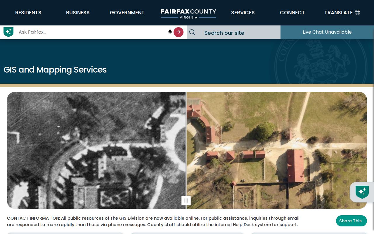
Jade is a useful first map for Lorton neighbors because it keeps the search tied to a specific parcel rather than an assumed street-wide household list.
Buffer Lorton Neighbor Features
After selecting the target parcel, Jade's Show Buffer Options and Show Buffer controls can identify nearby features. The selection can then be switched to a table, zoomed to all features, exported, removed, or combined with another selection. Export options may include CSV, XLSX, or a zipped shapefile where the selected layer supports them. Record the layer and date when saving a result.
Fairfax does not list an exact default buffer radius in the inspected material. Choose a radius that matches the question and document it rather than calling an arbitrary circle a block. A buffer can show proximity to a road, district, or parcel feature. It cannot show who lives there, how often a person visits, or whether people at adjoining parcels know one another.
The Jade help reference describes the selection, buffer, table, and export mechanics.
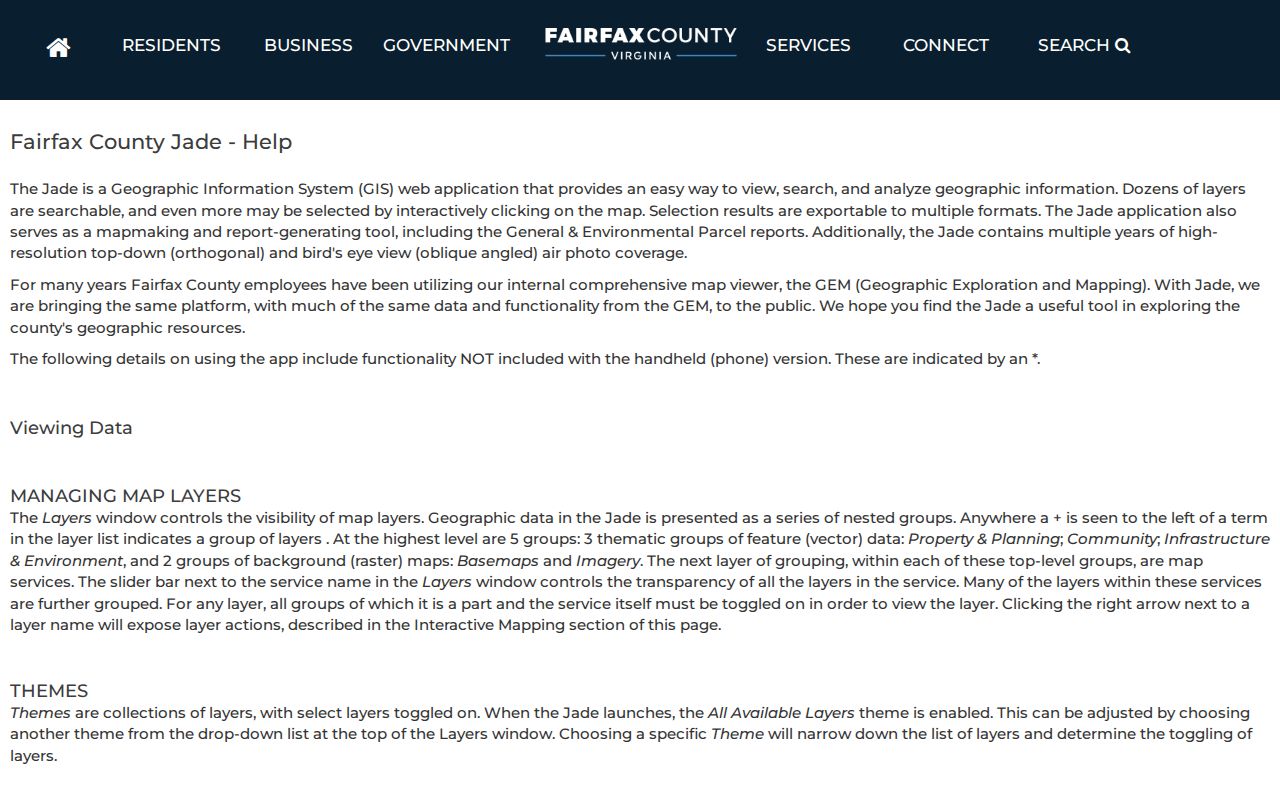
Use the buffer as a map-analysis tool, then verify any parcel-specific fact in the corresponding county property or land record.
Check Lorton Neighbor Ownership
For each selected parcel, search Fairfax iCare by address. Its profile can show owners, parcel information, legal description, sales, values, tax information, neighborhood sales search, and printable views. iCare supplies an assessment source for the owner field, not evidence of every Lorton neighbor occupying a parcel. The field may be withheld on the web while still available through the Department of Tax Administration office or phone route under applicable law.
Check the difference between situs and mailing address before drawing a conclusion. The situs is the taxable parcel's physical address; the mailing address is where the county sends a tax bill and can be outside Lorton. A recorded deed can corroborate a transfer party and legal description. CPAN, the Circuit Court public terminal, and the Historic Records Center are the land-record routes when iCare does not include a document image.
| Official source | Useful block fact | Limit |
|---|---|---|
| iCare | Assessment owner and parcel context | Mailing and situs differ; web owner field may be withheld |
| Recorded deed | Transfer parties and legal description | Shows a conveyance, not current physical presence |
| Jade | Parcel geometry and nearby geographic features | Not a survey or household record |
Lorton Voter Records Are Controlled
A block is not a voter roster. The Virginia Citizen Portal status lookup is person-specific. It requires first name, last name, date of birth, last four digits of the Social Security number, locality, and an affirmation that the search is for the voter or has that voter's express authorization. For Lorton, the locality is Fairfax County. The portal is not a tool for browsing a street.
Virginia Code §24.2-405 limits who may receive voter-list products and the permitted uses, while §24.2-444 limits the fields in registration lists. The Department of Elections form supports statutory list products and filters for eligible requesters, rather than providing an open web roster. Use the voter portal only under its authorization rule. Protected-address programs and P.O. Box options can further limit the address that appears.
Lorton Neighborhood Association Contacts
Association information is best used to identify a community and its public contact channel. The South County Federation, formerly the Federation of Lorton Communities, is a southeastern Fairfax civic umbrella. Its described area runs from the Occoquan north toward Fort Belvoir and the Fairfax and Franconia-Springfield parkways, east to the Potomac, and west to Lee Chapel, substantially including Lorton ZIP 22079. Visitors are welcome at its second-Tuesday monthly Zoom meeting at 7 p.m., except August.
The Federation's public resolutions and association contacts can supply neighborhood vocabulary and planning chronology, not a general member directory. Mason Neck residents and residential property owners may request free membership in the Mason Neck Citizens Association. Its public description says it holds semiannual, nonpolitical meetings and gives a mailing route at P.O. Box 505, Mason Neck, VA 22199. Its membership page does not publish a member directory.
| Organization or area | Verified public route | Roster status |
|---|---|---|
| South County Federation | Public meetings, resolutions, and association contacts | No general member directory located |
| Mason Neck Citizens Association | Free membership request for eligible residents and property owners | No public member directory |
| Lorton Station Community and North/South associations | County association inventory | No public member roster located |
| Lorton Valley, Lyndam Hill I/II, Lynn Forest, and Lynway Park Place | County association inventory | No public member roster located |
Lorton Neighbor Names in Planning
Public planning material can make an unfamiliar block label easier to research. South County Federation resolutions name Lorton Valley Residential, Shoppes at Lorton Valley, Hooes Road Residential, Harmony Hills, Overlook Ridge Parking, Lorton 2040 Plan, and Silverbrook matters. Search those names in county planning records, maps, and PLUS when the goal is to understand a project or neighborhood history.
These are geographic and civic clues, not proof that a named person resides in a place. Lorton also sits within the Lower Potomac Planning District and Mount Vernon Supervisor District, with labels such as Laurel Hill, Mason Neck, Lorton Station, and South County appearing in different records. Keeping the exact source spelling helps distinguish a planning reference from an address or parcel fact.
Map Lorton Neighbor Parcels
The short block workflow stays focused on the land record. It moves from address to parcel, then from an adjacent parcel to the county record that supports a specific fact. For a full named-street chain rather than the immediate area, use the Lorton by-street directory.
- Enter the target address or PIN in Jade and select the parcel.
- Select adjacent properties by click, rectangle, or a documented buffer.
- Open each iCare assessment profile for owner, parcel, legal description, and situs or mailing context.
- Use the recorded deed or title party to confirm a transfer when the property record needs support.
- Use association contacts for civic participation or planning context, not a household roster.
Address → Jade parcel → adjacent properties → iCare owner or assessment → recorded deed or title party → association contact is a fact-checking flow. It does not establish an occupant list or a social connection among Lorton neighbors.
Lorton Neighbor Privacy Limits
Renters, guests, household members, utility and delivery customers, protected voters, and confidential victims are not public merely because a parcel appears on a map. Virginia's Address Confidentiality Program, Va. Code §2.2-515.2, gives eligible victims a substitute address. Va. Code §16.1-253.1 restricts disclosure of protected persons' residential and other addresses in protective-order settings. Do not try to infer or publish an address behind either protection.
Driver and vehicle personal information is restricted by the federal Driver's Privacy Protection Act and Virginia Code §46.2-208. Sealed court records and restricted vital records remain controlled as well. The Virginia Freedom of Information Act (VFOIA), Va. Code §2.2-3700 et seq., especially §2.2-3704, provides an access route for non-exempt public records but does not override those limits.
| Official block sources | Commercial neighbor products |
|---|---|
| Show a parcel, assessment or recorded-transfer fact with a named custodian and access limit. | May combine parcel, marketing, voter, and address-history data with inconsistent identity matching. |
| Can be checked against the source record, map layer, or deed. | Do not override voter, DMV, ACP, sealed-record, or court privacy rules. |
| Useful for a documented geographic or ownership question. | Not authoritative proof of a block's current residents. |
Lawful use. Use Lorton neighbor records for civic context, personal safety awareness, and legitimate property questions. Never use them to watch, harass, intimidate, or harm another person.